What to Know About Hiking Maui’s Lahaina Pali Trail
Tips on how to survive this incredibly steep trail and get to its mesmerizing views of Haleakala.
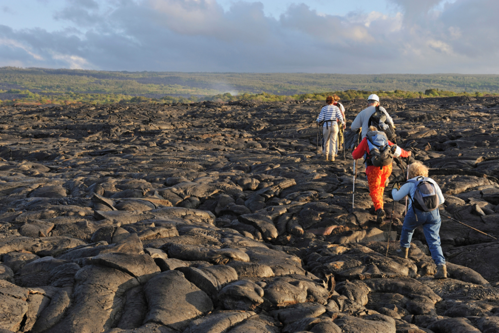
My gray T-shirt is saturated in sweat, I’m out of water and breath and I’m nearly ready to give in to that tiny voice in my head screaming, “Enough already!” I catch a faint glimpse of a windmill blade in the distance. It’s just enough motivation to keep going, though my ego is a bit bruised from the uphill battle I just trudged through. Suddenly, I understand the pali part of the Lahaina Pali trail on Maui. Pali, in Hawaiian, means a steep slope or cliff.
Decide if you’re going east or west.

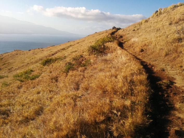
When it comes to hiking the Lahaina Pali trail on Maui, first decide which 5.5 mile trail to tackle, the east or west trailheads. The east trailhead is undoubtedly more difficult and begins just off Honoapiilani Highway (Highway 30) by the intersection with North Kihei Road. Many people make the mistake of parking to the side of the highway, but if you drive through the gates, there is a parking area just before the trailhead. It’s incredibly steep but offers mesmerizing views of Haleakala, the Kealia Pond National Wildlife Refuge, and the central valley.
Know where to start (and park).

The west trailhead starts right before Ukumehame Beach State Park on Honoapiilani. There’s a shady parking area on the right side just after the tunnel. While the less strenuous of the two, do not underestimate this route—it will still leave you breathing hard and drenched in sweat, winding through arid landscape and brush under the harsh West Maui sun. From December to May, the west trail is prime for whale watching. Hiking east to west or vice versa will require parking two cars, one at Maalaea and the other at Ukumehame. Alternatively, you can arrange for someone to pick you up on the other side. If not, you’re looking at an 11-mile, 10-hour out and back trek—no easy feat, even for an expert hiker.
The views are steep and sprawling.

The midpoint culminates on Kealaloloa Ridge with sweeping views of the Maui windmills, Haleakala, Upcountry, Keoneoio Bay (La Perouse), Kihei, Molokini, Lanai, and Kahoolawe. Both routes involve varying degrees of steepness, starting just above sea level and climbing to 1,600 feet. The senses are seduced with the sight of two neighboring islands on the hazy horizon, rare nene (Hawaiian goose) and pueo (Hawaiian owl), butterflies, and even incoming airplanes.
Windmills everywhere.

The windmills themselves are impressive, each of the 34 turbines measuring 168 feet with 115-foot blades. The whizzing and winding of the windmills and the calculable rhythm of the shadows of blades as they rotate on the dirt path are a welcome change from the sound of cars passing on Honoapiilani Highway.
The trail is a rugged one with jagged and uneven rocks that are sure to test your core strength and balance. The ridge is on Kaweawa Wind Farm, one of the largest wind farms on Hawaii. Expect howling winds, scorching sunlight, and sudden rain. Make sure to bring hiking shoes, twice the amount of water you think, layers, sunscreen, a snack, and a camera.
If you get discouraged, remember that until Honoapiilani Highway opened in 1951, the Lahaina Pali trail was the only way from Wailuku to Lahaina. Travelers trekked, sometimes barefoot, through the rocky, steep terrain.