Hawai‘i Island’s Ka Lae is Full of Hawaiian History
Also known as South Point, Ka Lae is so much more than just the southernmost point of the United States.
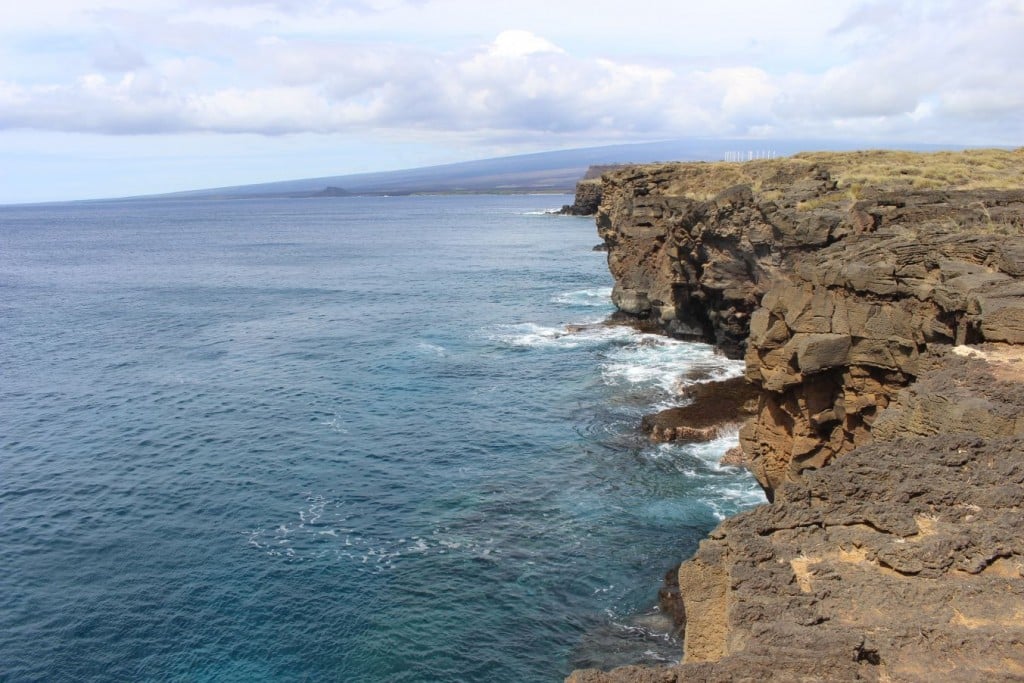
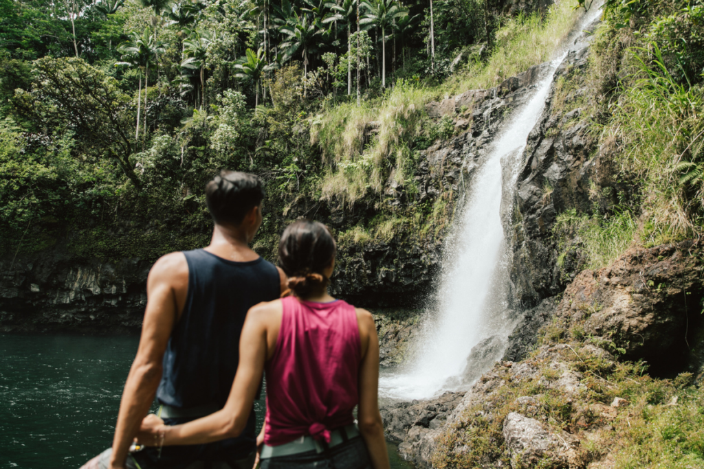
Standing on the rocky cliffs at Ka Lae, I find joy in the fact that I, along with a handful of other visitors and local fishermen, am at the southernmost point in the United States. The scenery is stunning: The dazzling blue ocean glistens below and the colossal Hawaiʻi Island landscape rises in the distance.
Aside from being one of the most scenic spots on the island of Hawaiʻi, Ka Lae, which in ‘ōlelo Hawaiʻi (Hawaiian language) means “the point,” is a deeply historic site. It is hypothesized that Ka Lae is the spot where early Polynesian settlers first landed, as the Big Island is the closest to Tahiti and South Point is the part of the island that they would likely come across first. Ruins of an ancient heiau (Hawaiian temple) are in the area as well, and the site is also home to one of the longest archaeological records of ancient Hawaiian civilization on the Islands.
In 1956, one of the oldest known ancient Hawaiian habitations was found at South Point by an archaeological team from the Bishop Museum. The site included over 14,000 artifacts, ranging from abraders (files used to make fishhooks) made of stone and coral, as well as more than 60 different kinds of larger fishhooks.

Photo: Catherine Toth Fox
Ka Lae also served as an important fishing spot for ancient Hawaiians, so much so that they built a koʻa (fishing shrine) to honor Kuʻula, the Hawaiian god of fishing. Large fish such as ʻahi, mahimahi and marlin were, and still are, common in the area, and you can still find mooring holes in the rocky cliffs used to fasten canoes so Hawaiians could fish without worry of being swept away by the strong currents.
Even in modern times, the area is still popular among fishermen trying to catch ulua, red snapper, mahimahi and marlin. Ka Lae has also attracted thrill-seekers looking to dive off its picturesque, yet sharp and rugged, cliffs. Looking down at the drop, I don’t mind the height of the jump as much as the ocean itself, which is known here for its dangerous sweeping rip current.

Photo: Catherine Toth Fox
The current is actually named Hala‘ea, which was the name of an ancient Hawaiian chief who was abusive toward his people; he was known for never sharing the aku (bonito) he caught and for taking more aku than he needed from his fishermen. Fed up with his greed, his own fishermen sunk Halaʻea’s canoe by placing more and more aku on it until it submerged from the weight. The chief was then carried off by the current, never to be seen again.
Thinking of Halaʻea and his unfortunate fate, I step carefully away from the cliffs of Ka Lae. There’s more to see here, and I set off down the coast on my own as the southernmost person in the United States.
To reach Ka Lae, turn onto South Point Road located between mile markers 69 and 70 on Highway 11 and follow it for 11 miles.