Top 5 reasons to hike Oahu’s Maunawili Falls trail

Tucked into a residential neighborhood off the Pali Highway on Oahu’s windward side is a trailhead for a jaunt popular with residents and visitors alike. The one-way jungle trail winds its way through 1 ¾ miles of variable terrain before reaching a scenic waterfall in a cool, swimmable pool.
I hiked the trail for the first time this weekend and highly recommend it. The hike, from start to finish, takes under three hours and is a great way to escape into Oahu’s green wildlands.
Here are the top five reasons you should check out the Maunawili Falls hike on your next Windward Oahu visit:

#5: Jungle.
Stepping onto the trail, even just a few feet down the footpath, you’re transported. Massive monkeypod trees, lilikoi (passion fruit) vines and palapalai ferns grow every which way and it can be easy to forget that you’re on Hawaii’s most populated island. That’s not to say that you’ll be hiking this popular trail alone—especially on weekends—still, there’s enough nature here for everyone.
#4: Views.
About ¾ of a mile in, sweeping views of Kailua and Kailua Bay are welcome rewards. Be sure to turn mauka (toward the mountains) and take in the green valley behind you as well.

#3: Exercise.
While this hike is easy enough for many—this weekend I saw toddlers and grandparents making the trek—Oahu hiking guidebooks list it as “moderate to strenuous.” The trail gains about 715 feet of elevation, so expect to feel the burn at least a few times along the path. Sure, it’s no Koko Crater, but it’s not just up and down either. The trail is a veritable obstacle course: You’ll ford boulder-filled streams at least six times (three times each way), play limbo under low lying branches and creatively step through long stretches of exposed jungle tree root systems.

#2: History.
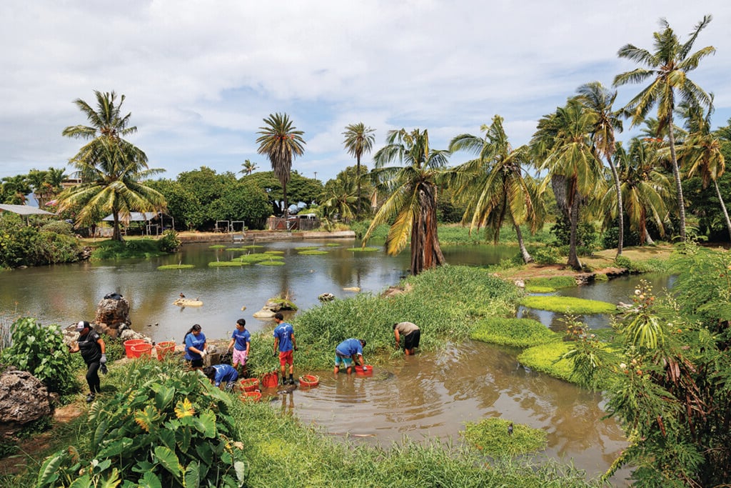
A sign just past the trailhead at the start of the footpath lets visitors know immediately that they are entering a site of agricultural and historical significance. The natural gradation of the land and the nearby divertable stream made this a popular place for early Hawaiian plant cultivation. Along the trail visitors can see the carefully placed and now moss-covered rock wall remnants of extensive taro loi (terraces) and animal enclosures—researchers have dated taro cultivation here to as early as 1100 A.D. In the mid-to-late 1800s, much of the area was converted to support cattle ranching as well as sugar, rubber and coffee production. Hikers can still see wild taro in the lowland swamps and coffee growing in shaded areas on the ridge.

#1: The Waterfall.
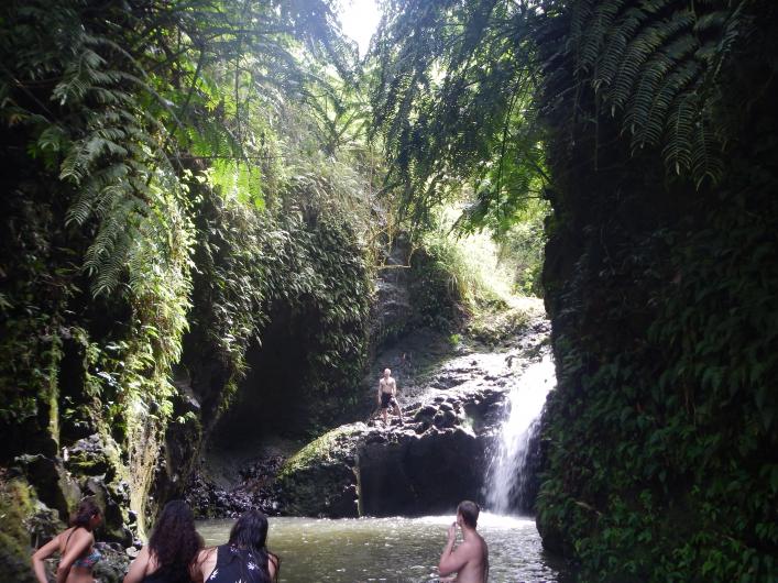
You’ll know you’re close when you’ve reached the top of a steep climb sporting a black bench. If you can quiet your heavy breathing (my case) you may even hear it. Follow the trail down to the stream and ford it to get to the falls. Maunawili Falls drops 15-30 feet into a deep cool pool, surrounded by jungle on three sides. Sit on a rock in the stream and soak your feet (look for little shrimp and crayfish darting between the rocks) or swim right up to the waterfall. If you do decide to swim, make sure you’ve got the pool to yourself. Signs in the area warn against cliff jumping, but you’re likely to see some daredevil trail companions testing their fates.

‘OK! I’m in!’ you say? Here’s what you need to know:
The trailhead is off Auloa Road in south of Kailua in the Maunawili Valley. Park (with consideration) in the surrounding residential area, there is no parking directly at the trailhead.
The total distance of the in-and-out hike is 3.5 miles. You’ll need to wear sturdy shoes with good traction, it can get muddy. Plan for about 2-3 hours or longer if you’d like to stay and enjoy the falls.
Usually there are enough fellow hikers to indicate the sometimes confusing forks and fords along the route, but if you’re lucky enough to be out there alone, here are some tips: Expect to ford the stream the first time about ¼ mile in. There are several opportunities to cross and you should see the trail continuing on the other side. The second ford comes about another ¼ mile in. A constructed ditch and rock wall at the 2/3-mile point and pink trail markers let you know you’re going the right way as you ford the stream a third time. At the top of the steepest climb, you’ll reach a ridge with the bench. Make sure to take the left fork going down to the stream. At the bottom of the descent, go right and follow the stream to the falls. Then retrace your steps back to your car!


